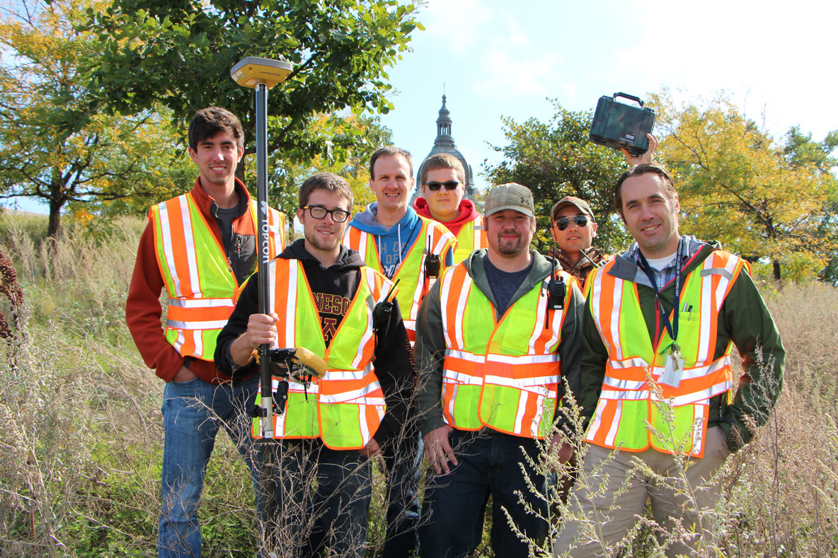
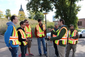
A group of Surveying & Civil Engineering Technology students created a club to gain additional surveying experience outside the classroom. The club’s first project was a geocache; a drone is next on the list.
The students meet informally for about a half hour each week to discuss current and future objectives. The idea for the geocache arose after the students had completed eight weeks of surveying classes.
“We were starting to gain some basic knowledge of the surveying world. We were looking to apply some of the information we’d learned so far in the semester and apply that to a geocache clue,” said club member Jeremy Brunell. “Geocaching is very similar to surveying to some degree. In geocaching you read up on all the clues, then go out into the world to try and find the cache. In surveying, you conduct research on property lines, site history, monument locations, among other pieces of information, and then you travel to the site to see what you can find.”
Geocaching is an outdoor treasure hunting game that uses GPS-enabled devices to help participants navigate to a container located at hidden location using a set of GPS coordinates. The container typically includes a logbook and a few small “treasures.” If a participant takes a small item from the container, they leave something of equal or greater value and write about their find in the logbook.
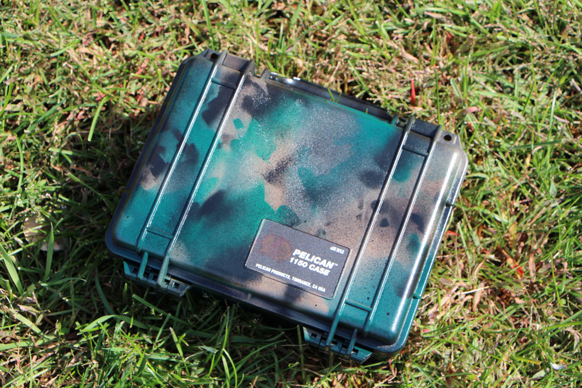
The club used Topcon HiPer SR GNSS receivers to record the position of their geocache. To store the logbook and small items, the students used a durable Pelican Case, which is commonly used to store survey equipment.
The club’s main objective for the semester is to create a surveying drone from scratch.
“The concept of drone technology has enormous potential to impact the surveying world. Such drones can collect data from the field in minutes, where it may take surveyors on the ground hours to collect such data,” said Brunell. “Drone technology is such a new concept that it hasn’t yet impacted the surveying world, but in the next decade it is possible that every surveying company will have a drone to use out in the field.”
Principal Instructor and Club Advisor Kelly Ness supports the students’ desire to pursue emerging technologies for club projects.
“I think the club has an opportunity to focus on emerging technology more than our curriculum can,” Ness said. “Our curriculum focuses on technology currently utilized by the industry. The club can look into the future and explore what technology will be used and how it might impact the profession.”
The club plans to send out letters requesting donations or student/non-profit pricing for drone components. They hope to have a drone that will collect data by the end of the school year.
“These surveying drones are not allowed to operate commercially at this time, but the FAA is working on procedures to allow for this. I think our students could be operating these drones within a few years,” Ness said.
Other projects the club has planned include attending surveying conferences and reviewing old surveying documents to research where past historical monuments were once located in the Twin Cities.
Geocache
For more information about the club’s cache, visit http://www.geocaching.com/geocache/GC5EXAT_william-h-dunwoody-cache?guid=b096fb5a-d2c8-4613-89e3-20978ec733a1. Brunell says individuals who search out the geocache might learn some basic surveying concepts.